


How to Navigate the Real-Time Earthquake Map?
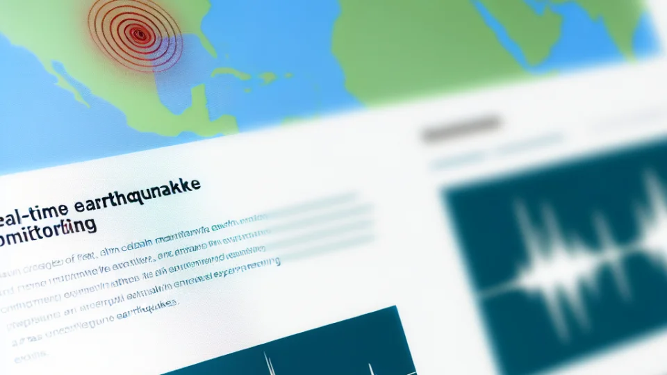
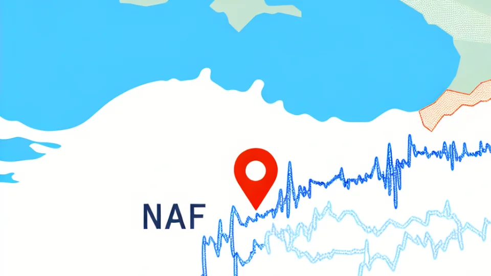
Navigating the Real-Time Earthquake Map on Earthqua.com is an intuitive and user-friendly experience. When you first access the map, you'll notice a clear layout that displays seismic activity across the globe. The interactive map is designed to provide an immediate visual representation of earthquakes, allowing users to quickly identify recent events. Zoom in on specific regions to see detailed information about the earthquakes that have occurred in those areas. The color-coded markers indicate the magnitude of each earthquake, making it easier to assess the severity of seismic events at a glance.
The map includes various filter options that enable users to customize their viewing experience. You can filter earthquakes by magnitude, depth, and time of occurrence. For example, if you are only interested in significant earthquakes, you can set the filter to show only those with a magnitude greater than 5.0. This feature is particularly useful for researchers and enthusiasts who want to focus on specific types of seismic activity. Additionally, the timestamp feature allows users to see when each earthquake occurred, which is crucial for real-time monitoring.
- Zoom In/Out for detailed views
- Filter by magnitude and depth
- View earthquake timestamps
- Access detailed earthquake reports
For those who want to learn more about each earthquake, clicking on a marker will reveal a pop-up with detailed information. This information includes the exact location, magnitude, depth, and even the tectonic plate boundaries associated with the event. Understanding these details can provide insights into the geological processes at play. Furthermore, the website offers educational resources and links to studies about seismic activity, making it an invaluable tool for both casual users and professionals in the field of geology.
What Are the Most Earthquake-Prone Areas Worldwide?
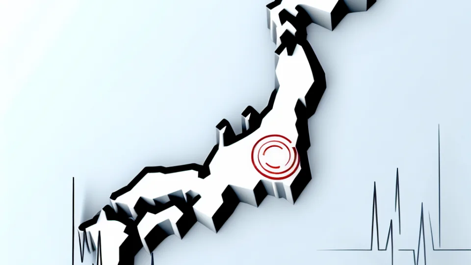
Earthquakes are natural phenomena that occur due to the movement of tectonic plates beneath the Earth's surface. Regions situated along tectonic plate boundaries are particularly vulnerable to seismic activity. For instance, the Pacific Ring of Fire, which encircles the Pacific Ocean, is one of the most active earthquake zones in the world. Countries such as Japan, Indonesia, and the west coast of the United States frequently experience significant seismic events. Understanding the geographical distribution of these areas can help in preparedness and risk mitigation.
Another notable area prone to earthquakes is the Himalayan region. The collision of the Indian and Eurasian plates has resulted in a landscape that is continuously evolving and is marked by frequent seismic activity. Countries like Nepal and northern India frequently experience devastating earthquakes. The seismicity in this region is not only a result of plate tectonics but also the complex geological structures formed over millions of years. This underscores the need for comprehensive monitoring and disaster preparedness strategies.
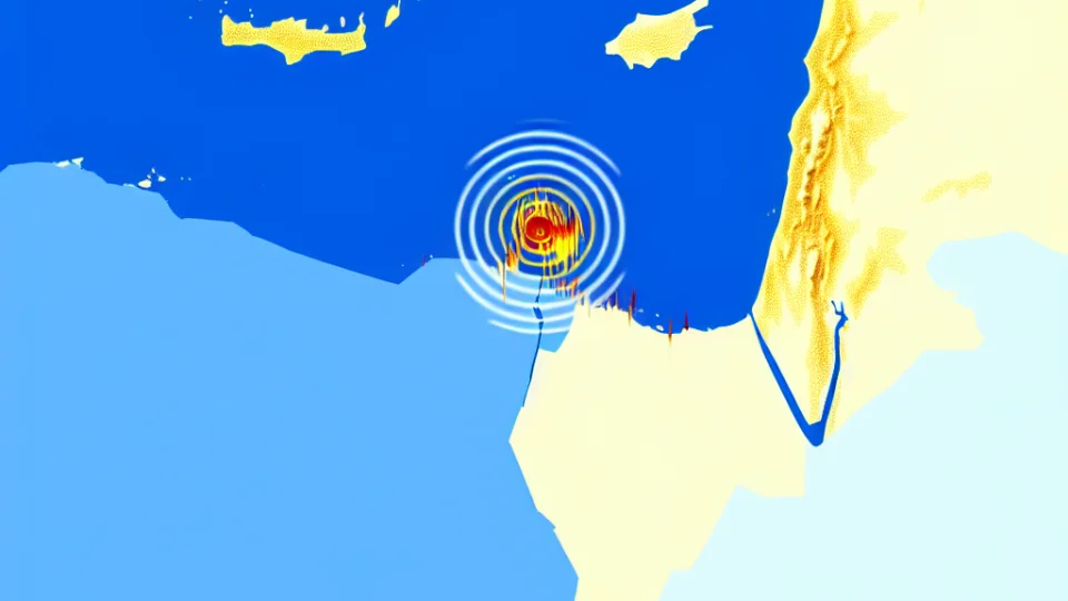
In addition to these regions, the Mediterranean-Asian seismic belt is another hotspot for earthquakes. This area extends from the Mediterranean Sea to the Himalayas, encompassing countries such as Turkey, Iran, and Greece. The complex interactions between several tectonic plates in this region often result in powerful earthquakes. The historical records of seismic activity indicate that this belt has been the site of some of the most devastating earthquakes in history, highlighting the importance of understanding local geology and seismic history for effective risk management.
Lastly, the eastern African rift system is an emerging area of concern for seismic activity. This region, which is splitting the African continent into two, has been experiencing increased seismic events in recent years. The tectonic forces at work here can lead to earthquakes that may not be as powerful as those in other regions but can still cause significant local damage. Continuous monitoring of this area is essential as urban development increases, making communities more vulnerable to potential seismic threats.
Understanding Earthquake Magnitudes and Their Impact
Earthquake magnitudes are vital indicators that help us understand the strength and potential impact of seismic events. The Richter scale is the most commonly known scale used to measure the magnitude of an earthquake. It quantifies the energy released during an earthquake, allowing scientists and researchers to categorize seismic events. The scale ranges from 0 to 10, with each whole number increase representing a tenfold increase in measured amplitude and roughly 31.6 times more energy release. This means that even a small increase in magnitude can indicate a significantly more powerful earthquake.
Understanding the impact of earthquake magnitudes is crucial for both preparedness and response measures. For instance, earthquakes with a magnitude of 3.0 to 3.9 are often felt by people but usually cause minimal damage. In contrast, earthquakes that measure between 6.0 to 6.9 can lead to moderate to severe damage in populated areas. Consequently, individuals living in seismically active regions must be aware of these magnitude categories to better prepare for potential earthquakes and understand the risks they pose.
In addition to measuring the strength of earthquakes, magnitudes also inform emergency management and disaster response efforts. Authorities use magnitude data to assess the potential for damage and prioritize resource allocation during disaster response. For example, after a significant earthquake, emergency services rely on magnitude readings to determine which areas require immediate assistance. This understanding allows them to react swiftly and effectively, potentially saving lives and reducing further risks associated with aftershocks.
The relationship between earthquake magnitudes and their impacts extends beyond immediate physical damage. Magnitudes can also affect psychological responses in affected populations. Higher magnitude earthquakes can lead to increased anxiety and stress levels among residents, even in areas not directly impacted. Understanding these psychological effects is vital for providing comprehensive support to communities recovering from seismic events. It emphasizes the importance of not only addressing physical damage but also the emotional and psychological needs of affected individuals.
How to Prepare for an Earthquake in Your Region?
Preparing for an earthquake in your region is crucial for ensuring the safety of you and your loved ones. Start by understanding the earthquake risk in your area. Research local seismic history and consult resources such as your local geological survey. Knowing the frequency and magnitude of past earthquakes can help you gauge potential risks. Awareness is key, as it allows you to make informed decisions about how to prepare your home and family for the unexpected.
- Create an emergency plan with your family.
- Assemble an emergency kit with essential supplies.
- Identify safe spots in your home, such as under sturdy furniture.
Once you have assessed the risks, developing an emergency plan becomes essential. Ensure that every family member knows what to do during an earthquake. Designate a meeting point outside your home where everyone can gather after shaking stops. Furthermore, consider communication strategies if you are separated. Equip your plan with updated contact information and ensure all family members know how to reach each other in the event of a disaster.
Another important step in earthquake preparedness is to assemble an emergency kit. This kit should contain enough supplies to sustain your family for at least 72 hours. Essential items include water, non-perishable food, a flashlight, batteries, a first aid kit, and any necessary medications. Don’t forget to include items that cater to the specific needs of your family, such as baby supplies or pet food. Regularly check and update your emergency kit to ensure everything is in working order.
Finally, make sure to identify safe spots in your home. These areas should be away from windows, heavy furniture, and anything that can fall during an earthquake. Practice 'Drop, Cover, and Hold On' drills with your family to ensure everyone knows how to respond when shaking occurs. Learning how to protect yourself can significantly reduce the chances of injury during an earthquake. Remember, preparation is not just about having supplies but also about knowing what to do when disaster strikes.
What Technologies Drive Real-Time Earthquake Monitoring?
Real-time earthquake monitoring relies heavily on a combination of advanced technologies that work together to provide accurate and timely data. One of the primary technologies used is the seismometer. These devices are highly sensitive instruments that detect ground motions caused by seismic waves. By measuring the vibrations of the Earth, seismometers are able to record the intensity, duration, and frequency of an earthquake, which is crucial for determining its magnitude and potential impact. The data collected by these instruments is then transmitted to monitoring centers for immediate analysis.
In addition to seismometers, the integration of geographical information systems (GIS) plays a significant role in real-time earthquake monitoring. GIS technology allows for the visualization of seismic data on interactive maps, enabling users to understand the geographic distribution of earthquakes. This spatial analysis helps in identifying patterns and trends in seismic activity, which can inform disaster preparedness efforts. By layering various data sets, such as population density and building structures, authorities can better assess vulnerability in affected areas.
Another critical component is the use of satellite technology, which enhances the accuracy of earthquake monitoring. Satellites equipped with specialized instruments can provide data on ground deformation and shifts that occur before and after seismic events. This information is invaluable for researchers looking to understand the mechanics of earthquakes and improve prediction models. The synergy between satellite data and ground-based sensors creates a comprehensive monitoring system that maximizes the chances of timely alerts and effective response strategies.
Finally, the role of data processing algorithms and machine learning cannot be overlooked. Advanced computational techniques are employed to analyze vast amounts of seismic data in real-time. These algorithms can automatically detect seismic events, classify their magnitudes, and even predict aftershocks based on historical data. By utilizing artificial intelligence, earthquake monitoring systems can evolve and improve over time, leading to more accurate predictions and enhanced public safety measures. The integration of such technologies marks a significant advancement in our ability to understand and respond to earthquakes.