How Does the World Earthquake Map Work?

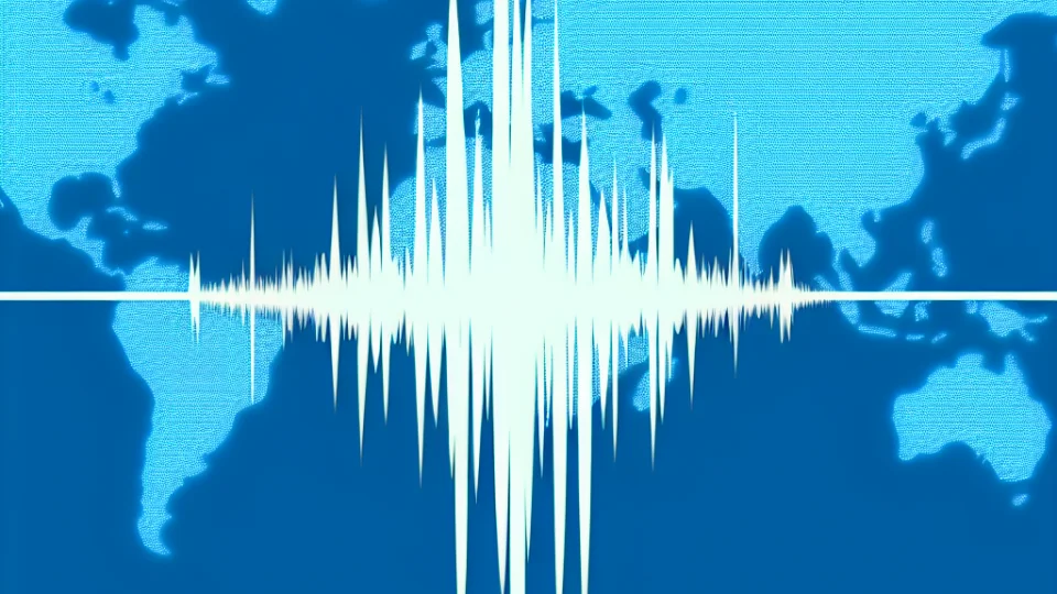
The world earthquake map is a tool used to monitor seismic activities around the globe in real-time. This map collects data from various sources to display the locations, magnitudes, and depths of earthquakes. Earthquake data is typically measured by special devices called seismographs. These devices detect ground movements, recording the waves generated during an earthquake, and this data is updated instantaneously on the map. Thus, users can access accurate information about where earthquakes occur.
The world earthquake map operates using data provided by many international organizations. These organizations collect earthquake data in a centralized system to keep the map up to date. Users can select a specific region on the map to obtain detailed information about earthquakes in that area. The magnitudes of earthquakes are displayed using color codes on the map, allowing users to quickly see which regions are at greater risk. Additionally, users can access historical data to examine earthquakes that occurred within a specific date range.
This map not only helps users gather information about earthquakes but also assists in predicting potential hazards in advance. For instance, people living in areas that frequently experience earthquakes can monitor this information on the map and take precautions. The earthquake map is particularly critical for emergency management and disaster planning. This way, local governments and relevant organizations can organize post-earthquake rescue efforts more effectively.
Finally, the world earthquake map features an interactive structure to facilitate users' access to information. Users can zoom in on the map for a closer look, filter earthquakes in specific regions, and access historical data. Such functions make the map's use more easy and efficient, allowing users to quickly reach the information they need. Thus, it becomes possible to monitor earthquake activities worldwide in real-time.
Where Do Real-Time Earthquake Data Come From?
Real-time earthquake data is obtained from various sources to monitor seismic activities around the world. This data is primarily provided by geological research centers, universities, and international seismology organizations. These organizations collect and analyze data using advanced technology and sensors to detect underground movements. These systems allow for the instantaneous recording and mapping of earthquakes, providing critical information for both the public and authorities.
In addition, there are earthquake monitoring networks operating globally. These networks compile data from various stations worldwide to provide real-time earthquake information. These stations are equipped with precise devices that determine the magnitude, depth, and location of the earthquake. The data obtained is processed through various software and displayed on maps in real time, making it accessible to users.
- National Seismology Centers
- International Seismology Organizations
- University Research Laboratories
- Private Earthquake Monitoring Companies
Real-time earthquake data is of great importance not only for scientists but also for the general public and emergency management. This data helps in preparedness against potential disasters and enhances public safety. Furthermore, the public availability of such data allows people to better understand the effects of earthquakes and raises awareness on the subject. Thus, individuals living in earthquake-prone areas can take necessary precautions.
In conclusion, real-time earthquake data represents a combination of technology and scientific research. This data facilitates the monitoring and management of earthquakes while playing a critical role in enhancing community safety. The continuous monitoring of seismic events occurring worldwide provides important information to both researchers and the public, contributing to efforts to minimize risks associated with earthquakes.
Which Countries Experience the Most Earthquakes?
Earthquakes occur more frequently in certain countries around the world. This situation is directly related to the mobility of the tectonic plates in which these countries are located. Particularly in the region known as the Pacific Ring of Fire, earthquakes are common. Countries like Japan, Indonesia, and Chile are among the places with the highest earthquake risk, as they are situated within this active zone. The earthquakes in these countries are often large-scale and destructive.
Turkey is also a country where earthquakes are frequently observed. A large part of our country is located on an active fault line known as the Alp-Himalayan belt. Particularly, the North Anatolian Fault is one of the most dangerous fault lines in our country. The earthquakes that occur along this fault line can lead to both loss of life and material damage. Therefore, preparations before and after earthquakes in Turkey are of great importance.
- Japan
- Indonesia
- Chile
- Turkey
- India
The USA is another country that experiences frequent earthquakes, especially in the state of California. The San Andreas Fault is the most famous fault line in this region, and the earthquakes that occur here can cause significant damage. Earthquakes in California pose serious threats to both the local population and major cities. Therefore, those living in this area need to place great importance on earthquake safety measures.
What is Turkey's Position in the Earthquake Ranking?
Turkey holds a significant position in the global earthquake ranking. The country frequently experiences earthquakes due to its location at the intersection of various tectonic plates. Therefore, Turkey is ranked among the countries with a high earthquake risk. Major earthquakes, such as the 1999 İzmit earthquake, have once again highlighted Turkey's earthquake reality. Earthquakes occurring in different regions of the country have resulted in both loss of life and material damage.
Turkey's position in the earthquake ranking is directly related to its geological structure. Our country is located in a geography that has active fault lines, such as the North Anatolian Fault. These fault lines produce earthquakes at regular intervals, reinforcing Turkey's high position in the earthquake ranking. Additionally, the Central Anatolia and Eastern Anatolia regions also host various fault lines. This situation increases Turkey's overall earthquake risk profile.
- 1999 İzmit Earthquake: Magnitude 7.4
- 2011 Van Earthquake: Magnitude 7.1
- 2020 İzmir Earthquake: Magnitude 7.0
Although Turkey is among the countries with a high earthquake risk, various efforts are being made to reduce this risk. Measures such as earthquake regulations, construction standards, and disaster preparedness programs are being implemented nationwide to minimize earthquake damages. Furthermore, raising public awareness and increasing educational programs are also extremely important. In this way, Turkey's position in the earthquake ranking can be made safer.
Measures to Reduce Earthquake Risk
To reduce earthquake risk, it is essential to first increase the resilience level of buildings. New structures should be designed and constructed in accordance with current earthquake regulations, which will significantly help mitigate this risk. Strengthening existing buildings, identifying their weak points, and carrying out necessary repairs are also important. Such measures are crucial steps towards minimizing the destructive effects of earthquakes.
Additionally, raising public awareness is an important part of reducing earthquake risk. Everyone, from school-aged children to adults, needs to be educated on what to do during an earthquake. This training should include topics such as creating emergency plans, identifying safe areas, and preparing earthquake kits. This way, it becomes possible to act consciously instead of experiencing anxiety and panic during an earthquake.
Preparedness for natural disasters is also crucial in the fight against earthquake risk. Local authorities should ensure coordinated actions before, during, and after an earthquake. In this context, identifying emergency gathering areas, providing first aid training, and conducting disaster drills are vital. Such preparations help communities recover quickly after an earthquake.
Finally, the use of technological advancements plays a critical role in reducing earthquake risk. Earthquake prediction systems, early warning systems, and seismic monitoring networks allow for the early detection of earthquakes and timely warnings. Effectively utilizing these systems helps ensure safe evacuations and minimizes loss of life. Thus, a safer living environment is provided for both individuals and communities.
How Should You Prepare Before an Earthquake?
Preparation before an earthquake is a life-saving process, and every individual should be informed about it. The first step is to assess the earthquake risk in your area. This will help you determine what kind of precautions you need to take. To learn about the risk status of your home's location, you can refer to the information provided by local authorities and organizations like AFAD. After obtaining this information, you should take the necessary steps to strengthen your home against earthquakes.
When preparing your home before an earthquake, it is very important to identify safe areas. These areas are places where you can protect your head during an earthquake and avoid being trapped under falling objects. You can make your home safer with simple measures such as securing furniture and arranging items that could fall. Additionally, defining these safe areas with your family and planning how to reach them reduces panic during emergencies and allows for a more effective response.
- Prepare an emergency kit.
- Create a communication plan with family members.
- Ensure the safety of items in your home.
- Follow local disaster management resources.
Another important step is to prepare an emergency kit. This kit should contain essential supplies that you may need after an earthquake. Items such as water, food, first aid supplies, a flashlight, and a battery-operated radio should be included in this kit. Additionally, you should make a plan with your family about where this kit is located and how to use it. Remember, communication disruptions may occur after an earthquake, so you should also consider alternative communication methods.
What is the First Aid and Assistance Process After an Earthquake?
The first aid process after an earthquake is a critically important phase to ensure the safety of survivors. Immediately following the earthquake, it is essential to identify the injured and create the necessary conditions for emergency intervention. First, it is important to assess the condition of people in the vicinity and organize the required assistance. In this process, the presence of individuals knowledgeable about transporting the injured and administering first aid provides a significant advantage.
As part of the first aid process, having basic first aid skills is of great importance. Performing appropriate interventions based on the condition of the injured can reduce life-threatening risks. For example, practices such as stopping bleeding, performing CPR, and providing artificial respiration are vital in emergencies. Additionally, offering psychological support to the injured can help in their recovery from trauma. In this context, receiving first aid training can be beneficial for everyone.
For the assistance process to function effectively, organization and coordination are crucial. Local governments, non-governmental organizations, and volunteers must come together to reach those in need of help. Creating emergency plans reduces uncertainties in this process and shortens response times. Furthermore, regular drills within the community should be conducted to raise awareness about post-earthquake assistance processes.
Finally, the assistance process after an earthquake is not limited to physical injuries; psychological support is also of great importance. People may face serious psychological issues due to the traumas they experience after the earthquake. Therefore, psychologists and social service experts should mobilize to provide support to earthquake survivors. This way, both the physical and psychological recovery processes can be managed more effectively.