What are the top 5 countries most prone to earthquakes?
When discussing seismic activity, it’s crucial to identify the countries that are most prone to earthquakes. The top five countries include Japan, Indonesia, California in the USA, Chile, and Turkey. These regions are located on or near major tectonic plate boundaries, which contribute to their high seismicity. Japan, for example, lies on the Pacific Ring of Fire, making it one of the most active earthquake zones globally. Understanding the geographical and geological context of these countries helps in assessing their vulnerability to earthquakes.
Japan is renowned for its advanced earthquake monitoring systems and building codes. The country experiences thousands of earthquakes annually, with a significant number feeling strong enough to be felt by residents. Major cities like Tokyo are equipped with state-of-the-art technology to minimize damage and protect lives. This preparedness stems from a long history of devastating earthquakes, such as the Great East Japan Earthquake in 2011, which highlighted the need for robust safety measures.
Indonesia, an archipelago nation, sits on the meeting point of several tectonic plates, making it exceptionally earthquake-prone. The country experiences frequent seismic activity, including major earthquakes that can trigger tsunamis. Indonesia's unique geography, with its many islands and coastal regions, poses additional challenges for disaster response and recovery. The Indonesian government's focus on improving early warning systems and community preparedness is critical in mitigating the impacts of these natural disasters.
In South America, Chile is another country that frequently experiences significant earthquakes due to the convergence of the Nazca and South American plates. The 2010 Maule earthquake, one of the strongest ever recorded, caused extensive damage and loss of life. Chile's proactive approach to earthquake preparedness has resulted in strict building codes and public education initiatives aimed at minimizing risks. This has established a culture of safety that is essential for residents living in such a volatile region.
Turkey's location at the intersection of the Eurasian and Arabian plates makes it another hotspot for seismic activity. The North Anatolian Fault, a major fault line running across northern Turkey, has a history of producing powerful earthquakes. The country has experienced tragic loss of life and property due to earthquakes, prompting government and community efforts to strengthen building infrastructure and improve emergency response strategies. Understanding the patterns of seismicity in Turkey is vital for future planning and risk reduction.
How do tectonic plates influence earthquake frequency?

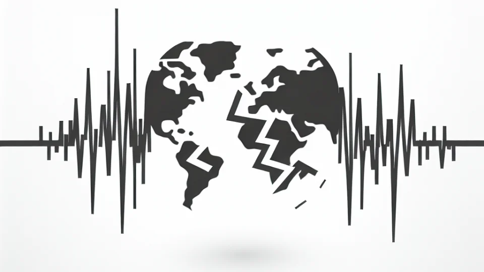
The movement of tectonic plates is a fundamental cause of earthquakes around the globe. These plates are enormous sections of the Earth's crust that float on the semi-fluid layer beneath them. Their interactions at plate boundaries lead to various geological phenomena, including earthquakes. As plates converge, diverge, or slide past one another, they can become locked due to friction. When the stress on these locked plates exceeds their frictional resistance, a sudden release of energy occurs, resulting in an earthquake. This mechanism helps explain why certain regions experience earthquakes more frequently than others.
There are three primary types of tectonic plate boundaries: convergent, divergent, and transform. At convergent boundaries, one plate is forced beneath another, leading to intense pressure build-up and frequent seismic activity. For example, the Pacific Plate subducting under the North American Plate creates significant earthquake risk along the west coast of North America. Divergent boundaries, where plates move apart, also generate earthquakes, though typically of lower magnitude. Transform boundaries, like the San Andreas Fault in California, are notorious for their potential to cause major earthquakes due to lateral sliding.
The frequency of earthquakes in a given area is, therefore, closely tied to its geological setting and position relative to tectonic plate boundaries. Regions located near plate boundaries experience a significantly higher rate of seismic activity compared to those situated within tectonic plate interiors. Countries like Japan, Indonesia, and Chile, which lie along the Pacific Ring of Fire, are particularly vulnerable to earthquakes. This seismic belt is characterized by numerous active faults and volcanic activity, making it one of the most earthquake-prone areas on Earth.
In summary, tectonic plate dynamics are crucial in understanding earthquake frequency. The interactions between these plates not only dictate where earthquakes are likely to occur but also their intensity and frequency. Regions near plate boundaries are at higher risk due to the constant movement and stresses exerted on the Earth's crust. Awareness of these tectonic activities allows for better preparedness and mitigation strategies in earthquake-prone areas.
What regions in the Pacific Ring of Fire experience the most seismic activity?
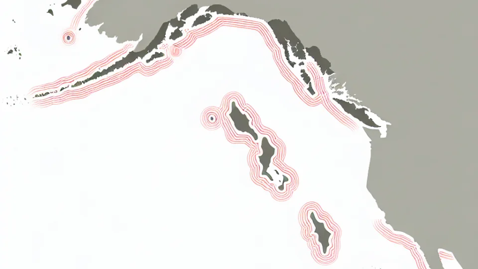
The Pacific Ring of Fire is renowned for its intense seismic activity, which is largely due to the movement of tectonic plates. This area encircles the Pacific Ocean and includes countries like Japan, Indonesia, and the Philippines. These regions experience a high frequency of earthquakes and volcanic eruptions, making them some of the most studied locations for geologists and seismologists. The tectonic plate boundaries here are highly active, leading to both shallow and deep-focus earthquakes that can have devastating impacts on local communities.
In Japan, the interaction of the Pacific Plate with the Eurasian Plate results in significant seismic events. The country has experienced some of the most powerful earthquakes in history, including the Great East Japan Earthquake in 2011. This earthquake not only caused extensive damage but also triggered a nuclear disaster at Fukushima. The preparedness and response strategies implemented in Japan are among the most advanced in the world, showcasing how nations in the Ring of Fire are adapting to the persistent threat of seismic activity.
Indonesia, located on the Sunda Arc, is another hotspot of seismic activity within the Pacific Ring of Fire. The convergence of the Indo-Australian Plate and the Eurasian Plate creates a complex tectonic environment. This region experiences frequent earthquakes, often accompanied by tsunamis due to underwater tectonic shifts. The 2004 Indian Ocean tsunami, which was caused by a massive undersea earthquake off the coast of Sumatra, is a stark reminder of the destructive potential of seismic events in this area, leading to thousands of casualties and widespread devastation.
The Philippines, situated along the Pacific Ring of Fire, also faces significant seismic risks. The country is characterized by its numerous volcanoes and earthquake-prone zones, influenced by the interaction of the Philippine Sea Plate and the Eurasian Plate. Earthquakes in this region can lead to both infrastructural damage and loss of life, prompting the government to enhance its disaster risk reduction strategies. The community's awareness and preparedness are crucial, as the archipelago continues to be vulnerable to the unpredictable nature of seismic activity in the Pacific.
How do earthquake magnitudes vary by country?
The magnitude of earthquakes varies significantly by country, primarily due to the geological characteristics and tectonic plate boundaries present in each region. For example, countries situated along the Pacific Ring of Fire, such as Japan and Indonesia, frequently experience high-magnitude earthquakes, often exceeding magnitude 7.0. This is largely attributed to the intense seismic activity caused by the collision of tectonic plates in these areas. Consequently, these nations not only face a higher frequency of earthquakes but also experience more powerful seismic events compared to countries located on more stable continental plates.
In contrast, countries like Canada and the United States have regions with varying earthquake magnitudes. While California is notorious for its seismic activity due to the San Andreas Fault, other areas like the Midwest experience much less frequent but potentially damaging quakes. This disparity illustrates how local geological formations and fault lines can result in significant differences in earthquake magnitudes. Furthermore, while the average magnitude of earthquakes can be higher in some regions, the impact and damage are often influenced by population density and infrastructure resilience.
Moreover, the historical data of seismic activity reveals that certain countries, such as Chile and Turkey, have recorded some of the most devastating earthquakes in history. Chile, for instance, experienced a catastrophic earthquake in 2010 with a magnitude of 8.8, one of the highest ever recorded. Such events highlight how not only the magnitude of earthquakes varies, but also how the consequences can differ depending on the preparedness and response of the affected country. This emphasizes the need for effective earthquake monitoring and preparedness programs worldwide.
Finally, understanding how earthquake magnitudes vary by country is crucial for risk assessment and disaster management strategies. Countries prone to high-magnitude earthquakes must invest in advanced monitoring systems and robust infrastructure to mitigate the impacts of seismic events. On the other hand, nations with lower seismic activity might focus more on public education and emergency response training. This tailored approach can lead to better resilience against earthquakes, ultimately saving lives and reducing economic losses during seismic events.
What historical earthquakes have shaped the world's most affected countries?
Throughout history, several significant earthquakes have profoundly influenced the most seismically active countries. For instance, the 1906 San Francisco earthquake remains one of the most destructive in U.S. history, causing massive casualties and extensive damage. This event highlighted the vulnerability of urban areas situated near tectonic plate boundaries. The aftermath of this earthquake led to stricter building codes and improved emergency response strategies, shaping the way communities manage seismic risks today.
Another example is the 1960 Valdivia earthquake in Chile, which is recorded as the strongest earthquake ever measured. With a magnitude of 9.5, it triggered a devastating tsunami that affected coastal regions across the Pacific. This earthquake not only reshaped Chile's landscape but also prompted international conversations about tsunami warning systems and disaster preparedness. The long-term effects on infrastructure and population displacement were felt for decades, showcasing the lasting impact of seismic events.
The 2004 Indian Ocean earthquake and tsunami is another pivotal moment in seismic history. Striking off the coast of Sumatra, Indonesia, it generated a tsunami that devastated several countries, including Thailand and Sri Lanka. This tragedy led to significant advancements in tsunami detection and warning systems, emphasizing the need for international cooperation in disaster management. The event reshaped policies on coastal safety and disaster response, illustrating how historical earthquakes can lead to comprehensive changes in global practices.
In Japan, the 2011 Tōhoku earthquake exemplifies how historical seismic events can shape national policy and public consciousness. With a magnitude of 9.0, it not only caused widespread destruction but also resulted in a nuclear crisis at Fukushima. This earthquake prompted a nationwide reassessment of nuclear safety protocols and disaster preparedness. The lasting societal implications and changes in energy policy in Japan underscore how such catastrophic events can redefine a nation's approach to safety, resilience, and environmental responsibility.
How can residents in earthquake-prone areas prepare for seismic events?

Residents living in areas susceptible to earthquakes must take proactive measures to ensure their safety and preparedness. One of the first steps is to create an emergency plan that includes a designated meeting place for family members. This plan should also outline communication methods, ensuring everyone knows how to contact each other during a seismic event. Additionally, residents should familiarize themselves with the safest spots in their homes, such as under sturdy furniture or against interior walls, where they can take cover during an earthquake.
Another critical aspect of preparation is assembling an emergency kit that contains essential supplies. This kit should include items such as water, non-perishable food, a flashlight, batteries, a first-aid kit, and any necessary medications. It is advisable to pack enough supplies to last at least 72 hours, as emergency services may take time to reach affected areas. Regularly checking and updating the kit ensures that all items are within their expiration dates and that residents are well-equipped to handle the aftermath of an earthquake.
In addition to personal preparedness, it is vital for residents to stay informed about local seismic activity and potential risks. Engaging with local authorities, attending community preparedness workshops, and participating in earthquake drills can significantly enhance one's understanding of how to react during a seismic event. Furthermore, installing early warning systems or utilizing smartphone applications that provide real-time earthquake alerts can help residents take immediate action, enhancing their safety during an earthquake.
Lastly, retrofitting homes to withstand earthquakes is a long-term investment that can save lives. Homeowners should consider reinforcing the foundation, securing heavy furniture, and installing flexible gas lines to minimize the risk of gas leaks during an earthquake. Consulting with structural engineers can provide expert insights into the best retrofitting methods for specific homes. By taking these measures, residents can significantly improve their preparedness and resilience against seismic events, ultimately ensuring a safer environment for themselves and their families.
What role does technology play in earthquake monitoring and prediction?

Technology plays a crucial role in earthquake monitoring and prediction, significantly enhancing our understanding of seismic activities. Advanced sensors and instruments are now capable of detecting even the slightest ground movements, which allows researchers to gather real-time data about earthquakes. These technologies, including seismographs and accelerometers, provide valuable information on the location, magnitude, and depth of seismic events, enabling scientists to analyze patterns and trends in earthquake occurrences. The ability to process this data quickly is essential for public safety and effective emergency response.
In recent years, machine learning and artificial intelligence have revolutionized the way we predict earthquakes. By analyzing vast datasets collected from various seismic stations, these technologies can identify potential precursors to earthquakes, such as unusual seismic waves or changes in ground deformation. This predictive capability allows scientists to issue early warnings, potentially saving lives and minimizing damage. The integration of technology in earthquake prediction systems represents a significant leap forward in our efforts to mitigate the impacts of seismic events.
Furthermore, advancements in satellite technology have also improved our understanding of tectonic movements. Satellites equipped with interferometric synthetic aperture radar (InSAR) can monitor ground displacement with incredible precision. This data helps scientists track how tectonic plates shift and interact, providing insights into where future earthquakes may occur. By combining satellite data with ground-based measurements, researchers can create comprehensive models that predict seismic activity more accurately, which is vital for regions prone to earthquakes.
Finally, the development of mobile applications and online platforms has made earthquake information more accessible to the general public. Real-time alerts and updates on seismic activity can now be delivered directly to users via their smartphones, allowing individuals to stay informed and prepared. These technologies not only facilitate public awareness but also foster community engagement in disaster preparedness. By leveraging technology, we can enhance our resilience against earthquakes and improve our ability to respond effectively when they occur.