Discover what an earthquake dome contact is, how dome structures form, and how their interaction with fault lines can trigger seismic activity. Learn about real-world examples, monitoring methods, and their importance in earthquake research.
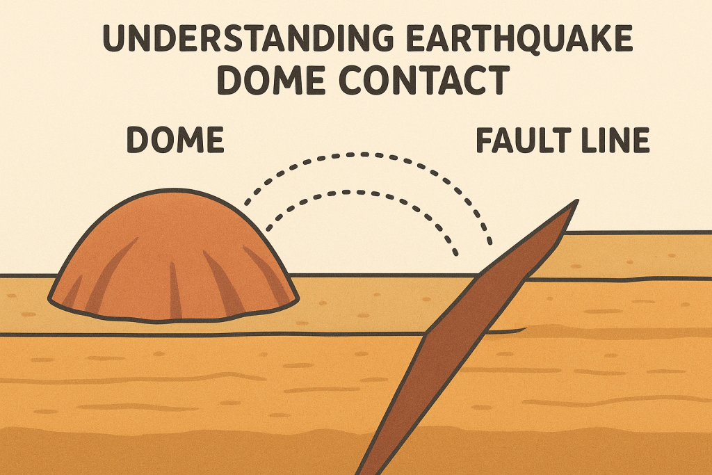
The term “earthquake dome contact” refers to the geological interaction zone between a dome-shaped structure and nearby fault lines where seismic energy is transferred or released.
In simple terms, it’s where a dome (a natural uplift in the Earth’s crust) meets or overlaps a fault zone (a crack where earthquakes occur).
This contact area can reveal how stress, pressure, and tectonic movements influence both the surface and subsurface of the Earth. Scientists study it to understand why certain earthquakes happen near domes, why others trigger volcanic activity, and how to better predict them.
2. The Geological Meaning of a “Dome”
In geology, a dome is a type of structure where rock layers have been pushed upward, forming a convex or rounded shape — much like an upside-down bowl. Domes can form through several processes:
- Magmatic uplift: Magma beneath the crust pushes upward, creating a volcanic dome.
- Tectonic deformation: Slow movement of plates bends rock layers into dome shapes.
- Sedimentary pressure: Localized stresses cause the center of rock formations to rise.
Domes are often associated with volcanic fields, geothermal regions, and tectonically active areas. Because of this, they are common near fault lines, where pressure constantly builds.
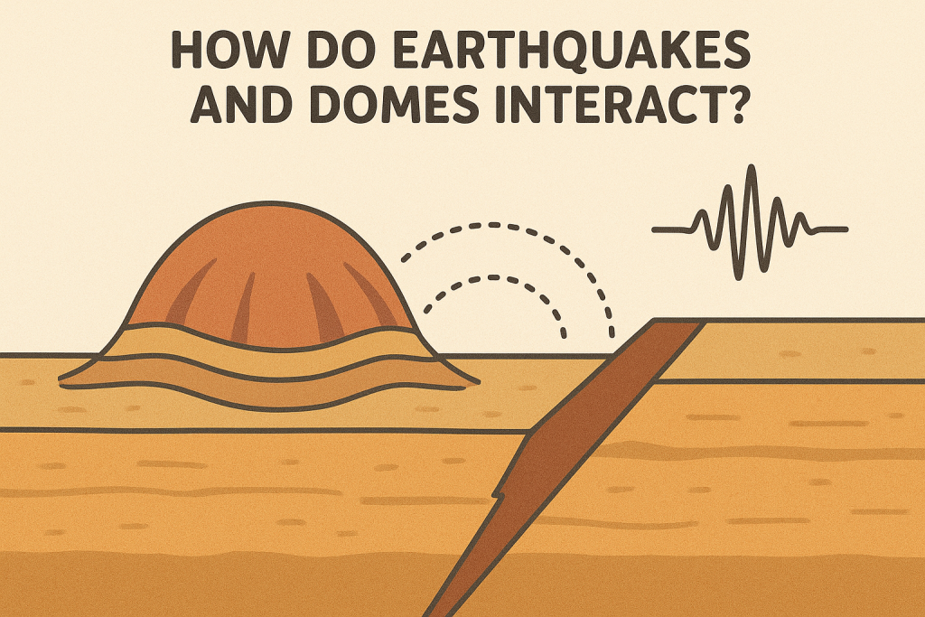
3. What Happens at the Dome–Fault Contact Zone?
The contact zone between a dome and a fault line is a sensitive geological interface. It’s where energy from the Earth’s interior interacts with structural weaknesses in the crust.
At these contact points:
- Seismic waves may amplify due to dome curvature.
- Rock layers can fracture, creating micro-faults or fractures.
- Magma movement beneath volcanic domes may be influenced by nearby earthquakes.
- In some cases, repeated stress may reactivate old faults, leading to a new series of quakes.
This interaction makes dome contact zones potential hotspots for localized seismic activity.
4. How Do Earthquakes Affect Dome Structures?
When an earthquake occurs near a dome:
- The vibration energy from the fault line travels into the dome.
- Depending on the dome’s material (lava, sediment, or crystalline rock), it may absorb or reflect seismic waves differently.
- Repeated shaking can lead to ground deformation, cracks, or even small landslides.
For volcanic domes, earthquakes can cause:
- Magma chamber destabilization,
- Gas release, and occasionally
- Eruptive activity (if pressure exceeds containment).
5. How Dome Contacts Can Trigger Earthquakes
Interestingly, not only do earthquakes affect domes — sometimes domes can contribute to earthquake formation.
When magma accumulates below a dome, it increases localized stress on surrounding faults. Over time, this pressure can:
- Cause small tectonic slips (micro-earthquakes),
- Alter fault orientation, or
- Create new fracture zones.
This process is commonly observed in volcanic regions like Japan, Indonesia, Chile, and Iceland, where dome-related earthquakes are frequently recorded.
6. Real-World Examples of Dome and Earthquake Interaction
🔹 Mount St. Helens (USA)
After the 1980 eruption, a lava dome began growing inside the crater. Seismic monitoring revealed numerous small earthquakes occurring at the contact boundary between the dome and surrounding fault systems, helping scientists map magma movement.
🔹 Unzen Volcano (Japan)
The 1990s dome growth phase was accompanied by frequent earthquakes beneath the dome structure — an example of earthquake dome contact influencing volcanic activity.
🔹 Nevado del Ruiz (Colombia)
A strong relationship between tectonic faulting and dome deformation has been recorded, where deep fault quakes triggered pressure changes within the dome system.
7. How Scientists Study Dome Contact Zones
To understand these interactions, researchers use several modern tools and methods:
- Seismic sensors to record micro-earthquakes near domes.
- InSAR (satellite radar) to detect surface deformation.
- GPS measurements to monitor crustal movement.
- 3D geophysical imaging to model magma chambers and fault geometry.
These data sets are combined to create detailed maps of dome contact zones, helping predict where future activity might occur.
8. The Importance of Earthquake Dome Contact Research
Studying earthquake dome contact zones is crucial for:
- Seismic hazard assessment – predicting where earthquakes might concentrate,
- Volcanic risk management – understanding how shaking affects eruption potential,
- Infrastructure planning – avoiding construction on unstable dome slopes,
- Early warning systems – identifying signals of increased seismic or volcanic stress.
Regions like Japan, the Philippines, and the Pacific Northwest (USA) invest heavily in dome-fault research because these areas combine both tectonic and volcanic hazards.
9. Common Misconceptions
- ❌ “Domes cause earthquakes.”
→ Not directly. Domes can influence stress patterns but don’t “create” earthquakes alone. - ❌ “All domes are volcanic.”
→ Many domes are purely tectonic or sedimentary, formed by uplift, not magma. - ❌ “Dome contact zones are rare.”
→ They are more common than people think — especially in subduction zones where multiple forces interact.
10. Earthquake Dome Contact and Human Safety
In populated areas near dome-fault regions, monitoring is vital. Engineers and planners use geological maps to:
- Avoid high-risk construction sites,
- Reinforce existing infrastructure,
- Develop community-based evacuation plans, and
- Implement real-time seismic alerts.
Proper understanding of dome contacts can reduce casualties and property damage from both earthquakes and secondary hazards like landslides.
11. Future Directions in Dome–Fault Research
As technology evolves, scientists are now integrating:
- AI-based seismic modeling,
- Machine learning algorithms to detect early stress patterns,
- And real-time satellite monitoring to map dome deformation in hours, not weeks.
These innovations make earthquake dome contact zones one of the most dynamic areas of geoscience research today.